Software and tools
At Royal HaskoningDHV, we use state-of-the-art modelling software in our projects. These models simulate the physical processes in coastal environments, estuaries and at open sea. From detailed CFD modelling to large-scale modelling of ocean currents and typhoons. With the models, we accurately predict water flow, waves and associated morphological and water quality phenomena such as coastal development, bed scour, sedimentation and spreading of pollution.
Long-term collaboration and contracts with high-ranking institutions in the world such as DHI (MIKE suite), Deltares (Delft3D, Delft3D FM PHAROS, SOBEK), Delft University of Technology (SWAN, SWASH), HR Wallingford UK and many more, provide us with joint development opportunities and the latest open-source and commercial software.
Royal HaskoningDHV continuously develops numerical modelling software and tools, both in-house and in joint R&D. We are partners and sponsors in the new developments of freely available open source software such as CoastalFOAM, the OpenEarth Tools, SWASH and Delft3D FM. We also develop pre- and post-processing tools (in ArcGIS and MATLAB) to deliver high quality modelling results and visualizations.
CoastalFOAM
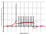
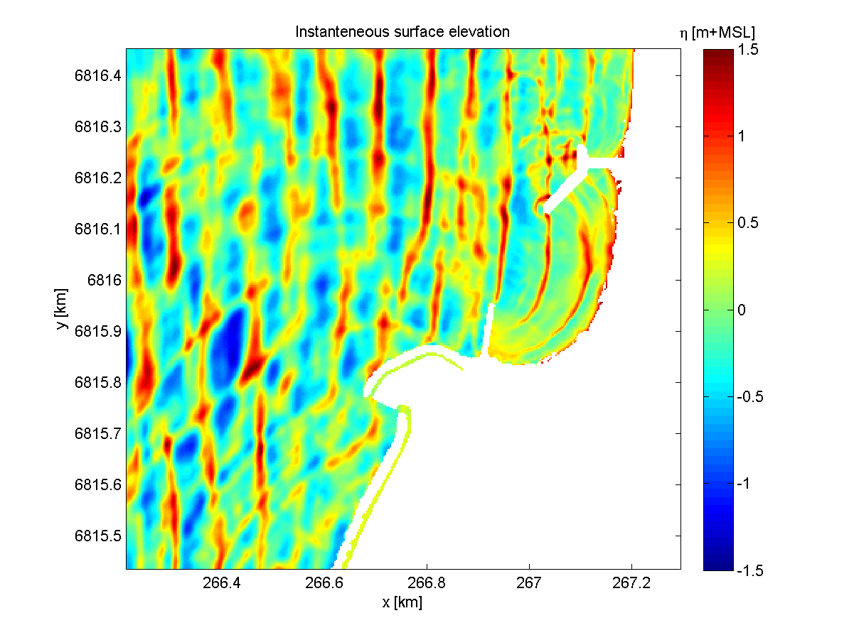
CoastalFOAM is a CFD-package that combines OpenFOAM and Waves2Foam. Royal HaskoningDHV is one of the developers of CoastalFOAM, a numerical wave flume to test concepts and detailed designs of coastal structures. Conventional design approaches are limited in accuracy and reliability and can be very costly and time consuming. Royal HaskoningDHV embraces the possibilities of advanced wave modelling with CoastalFOAM allowing for detailed computation of wave loads and overtopping volumes. Currently, this numerical wave flume is being used to optimize design of coastal structures (breakwaters, flood walls) prior to physical scale tests. Ongoing development and validation with every physical scale test, CoastalFOAM will replace more and more psychical scale tests.
Delft3D (FM)
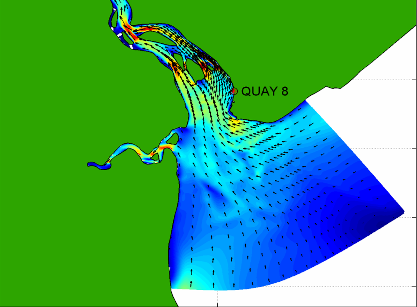
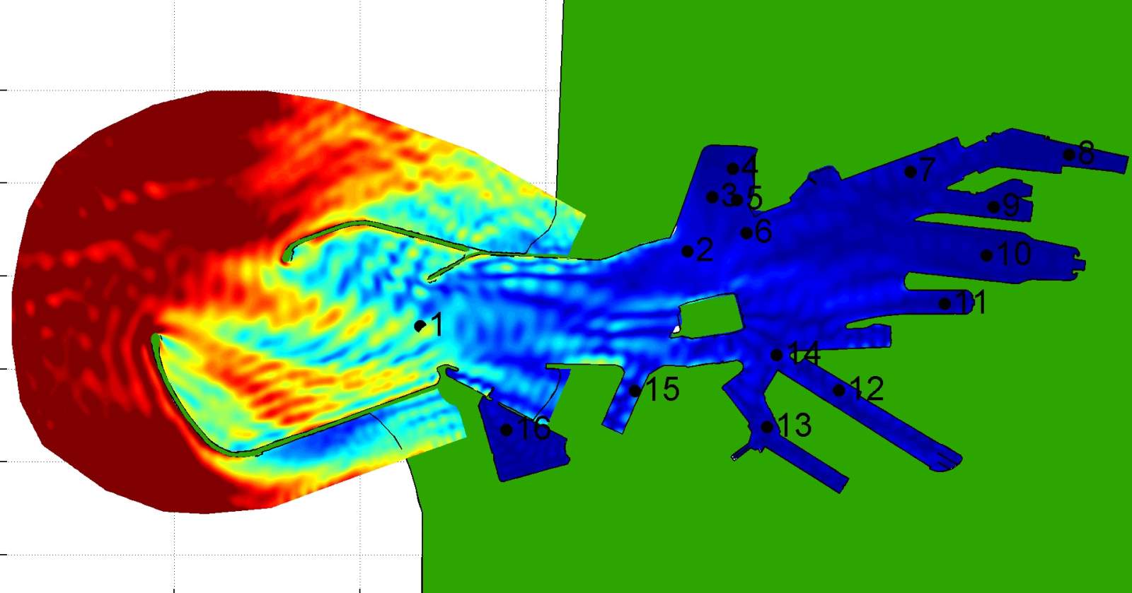
Delft3D and (the jointly developed) Delft3D FM are general-purpose mathematical modelling software packages for hydraulic, morphologic and water quality issues in coastal, lake, estuarine and river areas, developed by Deltares (and Royal HaskoningDHV). The models are used to simulate processes such as water movement in 2D and 3D, wave propagation in coastal areas (by combining with the wave model SWAN), transport of cohesive and non-cohesive sediments and short-term morphology, water quality, salinity penetration, dispersion of pollutants, siltation and algae blooms.
DelWaq
DelWaq is a module in Delft3D. It is specifically made for stand-alone water quality modelling. The flow and wave conditions are commonly obtained from Delft3D and SWAN modelling results. DelWaq contains an enormous library of processes and parameters related to suspended sediment, pollutants and algae bloom.
MIKE 21 / MIKE 3
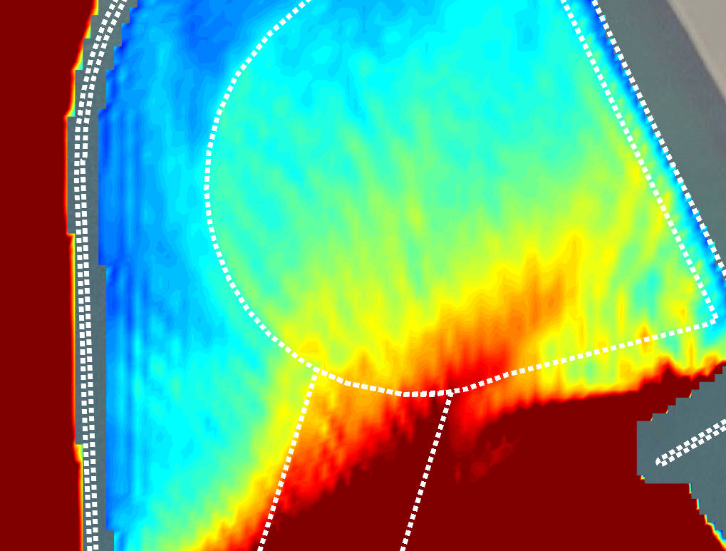
MIKE 21 and MIKE 3 are general purpose modelling software packages developed by DHI to simulate hydrodynamics (tides, wind and wave generated currents, storm surges and flood waves), sediment transport (sand/mud) and bed level changes, inshore wave transformation (offshore-nearshore spectral waves), wave simulation in ports/harbors including resonance/seiching and Boussinesq waves (EMS/PM/BW), water quality (biological/chemical) processes (MIKE 3).
SWAN
SWAN (Simulating Waves Nearshore) is 3rd generation spectral wave propagation modelling software for coastal seas and estuaries. It includes effects of wind growth, refraction due to depth and current, shoaling, energy dissipation due to depth-induced breaking, white-capping and bottom friction, wave-wave interaction. It is developed by Delft University of Technology.
XBeach
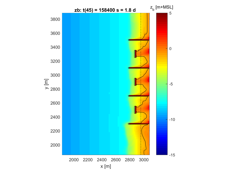
XBeach is applied to simulate wave propagation, long waves, flow, sediment transport and morphological changes in the nearshore area. It accounts for constructions such as breakwaters and the dynamics of dunes and back barrier during storm events. It is a public-domain modelling software that is developed by a consortium of institutes.
LitPack
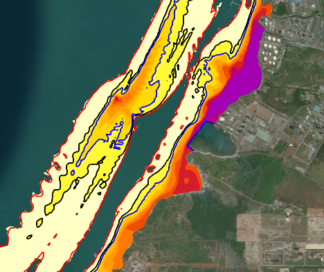
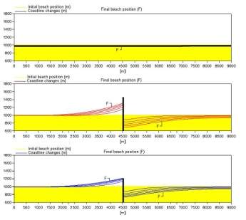
LitPack is a module of the MIKE model software package and is developed by DHI. It is used for prediction of long-term coastal changes due to varying wave and flow conditions, and human interventions (e.g., construction of breakwaters). Simulation of longshore sediment transport, coastline evolution, cross shore profile evolution, channel backfilling.
UNIBEST
UNIBEST is a modelling software package developed by Deltares, used for the prediction of long-term coastal changes due to varying wave and flow conditions, and due to human interventions (e.g. breakwaters). Simulation of cross-shore sediment transport, cross-shore development during storm conditions, longshore sediment transport, coastline evolution.